More rain is likely to start off the week, but we will dry some by midweek. Temperatures will heat up returning to the 90s for the second half of the week. We'll stay very humid as well.
Tonight brings clouds and some fog. Temperatures will dip into the mid 70s.
Another round of showers and storms looks likely on Monday. Heavy downpours and possibly a strong storm will gusty wind can be expected. Temperatures will warm into the upper 80s.
Rain chances will taper off for the rest of the week, although an isolated shower or storm will remain possible just about every day.Â
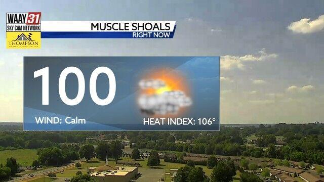
Temperatures will return to seasonably hot conditions with afternoon highs in the low and mid 90s at times. The humidity will make it feel like triple digits starting Tuesday. We'll remain warm and muggy at night with overnight lows in the low to mid 70s.
TONIGHT: Cloudy and mostly dry. Lows in the mid-70s. Wind: NE 5 mph. Chance of rain: 20%.
MONDAY: Another round of showers and storms. Highs in the upper 80s. Wind: SE 3-6 mph. Chance of rain: 50%.