
Thursday will be the warmest day this week. Afternoon temperatures reach the mid 60s with a mix of sun and clouds. A southerly breeze could gust closer to 25 MPH especially by the afternoon.
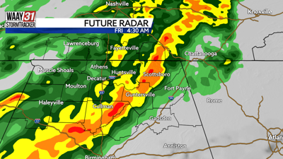
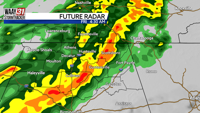
Big changes arrive tonight thanks to our next cold front. Widespread rain moves in after midnight and lingers throughout the day Friday. A few rumbles of thunder can't be ruled out, but the severe weather threat stays to our south near the Gulf Coast. Most spots will see a quarter to half inch of rain before drying out tomorrow night.
The weekend will be quiet but cold. High temperatures struggle to get out of the 40s both Saturday and Sunday. Overnight lows will drop back below freezing. Temperatures moderate to more seasonable norms by the middle of next week.
THURSDAY: Mix of sun and clouds. Highs in the upper 60s. Wind: S 10-15 MPH, gusting to 25 MPH.
TONIGHT: Rain after midnight. Lows in the mid 50s. Chance of rain: 70%. Wind: S/SE 15-20 MPH, gusting to 30 MPH.